
- Home
- Explore Emerald
Beyond the check-in.
Local advice from the front desk: what’s an easy walk from the motel, and what’s worth the drive around the Central Highlands.
Find it on the map.
Every place in this guide, measured from our door. Select a pin for the distance and directions.
A&A Lodge Motel Places in this guide Food
In town, mostly on foot.
Clermont Street carries both the Capricorn and Gregory Highways through the middle of Emerald. Egerton Street, one block north, is the main shopping street. Park at the motel and most of town is a short walk away.
Walking distances from the motel, measured along streets and footpaths.
01002003004005006007008009001 km
900m12 min walk
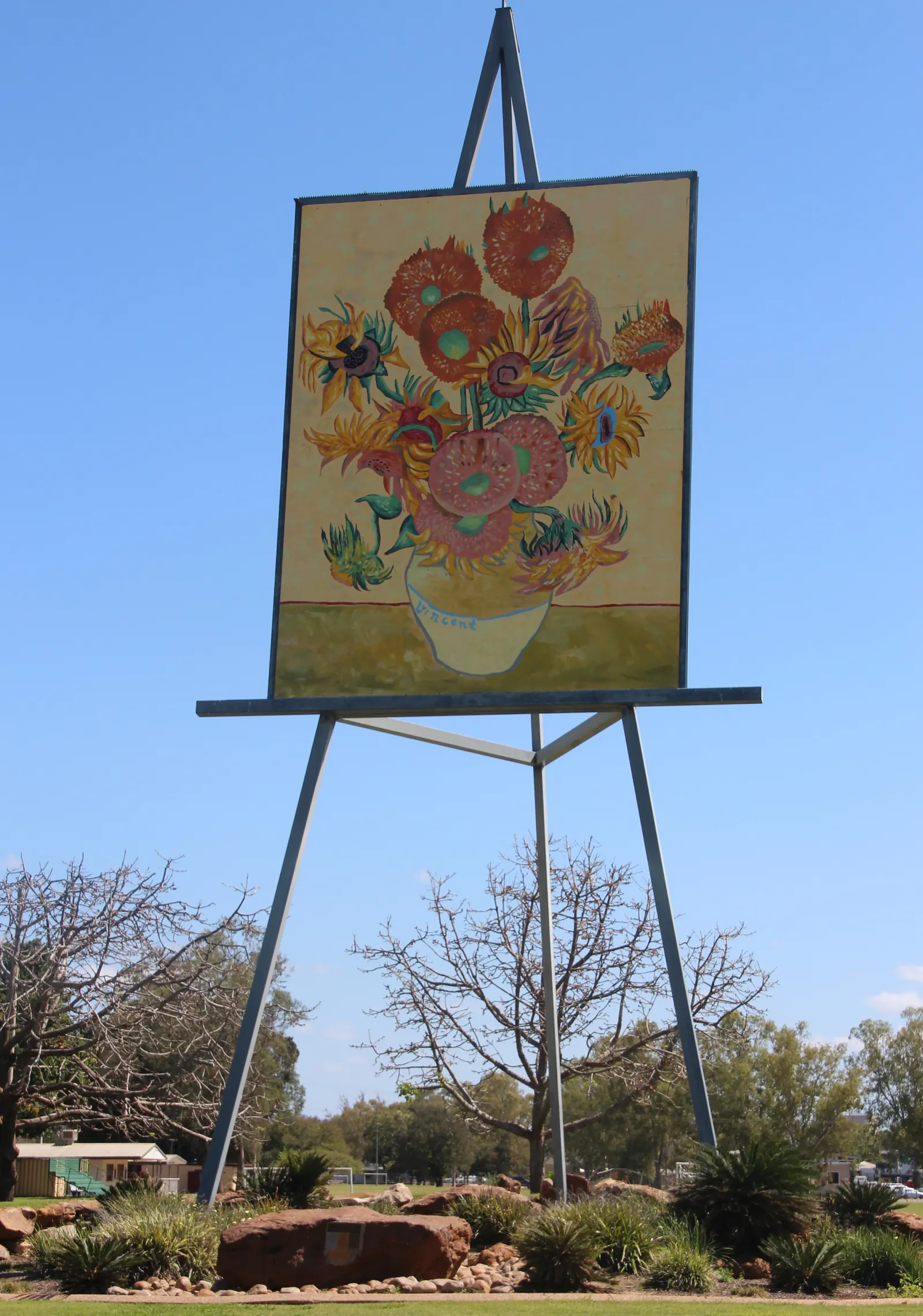
The Big Easel and Visitor Centre
A 25-metre easel holding a giant replica of Van Gogh’s Sunflowers, a nod to the years when Emerald was a major sunflower producer. It stands in Morton Park at the western end of Clermont Street.
The Visitor Information Centre is in the same park, at 3 Clermont Street. Open weekdays 9am to 4pm, and weekends and public holidays 9am to 1pm. Phone (07) 4982 4142.
- The Big EaselMorton Park, Clermont Street900 m, 12 min walkDirections
- Visitor Information Centre3 Clermont Street, beside Morton ParkAbout 900 m, 12 min walkDirections
- Morton ParkWestern end of Clermont StreetFrom 900 m, 12 min walkDirections
1km14 min walk
Emerald Regional Botanic Gardens
42 hectares on the banks of the Nogoa River, with a rose garden, maze, bush chapel, sculptures, playground and about 6 km of walking and bike tracks. Good for an early walk before the heat.
- Emerald Regional Botanic GardensCapricorn Highway, beside the Nogoa River (main car park)1 km, 14 min walkDirections
800m11 min walk
Pioneer Cottage Complex
A small historical village in Morton Park with the town’s old lockup, St Marks Presbyterian Church and a communications museum. Walk through the grounds any time; the buildings open 9am to midday on Tuesday, Thursday and Saturday, for a gold coin donation.
- Pioneer Cottage ComplexMorton Park, Clermont Street800 m, 11 min walkDirections
850m11 min walk
Emerald Aquatic Centre
A 50-metre outdoor pool, a heated 25-metre pool, a splash area and waterslides at 62 Opal Street. Open weekdays 6am to 6pm and weekends 9am to 5pm. The pools close over winter and during thunderstorms, so check the season before you go.
Aquatic Centre website
- Emerald Aquatic Centre62 Opal Street850 m, 11 min walkDirections
60m1 min walk
Where to eat near the motel
Breakfast, lunch, dinner and takeaway are all close by, most of it a few minutes’ walk from our door. Opening hours vary, particularly on Sundays and Mondays, so check before you head out, or ask us at reception what’s open tonight.
Breakfast and coffee
- Fairbairn Bakery117 Clermont Street60 m, 1 min walkDirections
- Shelfield Coffee BrewersShop 6/104 Egerton StreetAbout 250 m, 3 min walkDirections
- Blah Blah Sandwich Bar105 Egerton Street285 m, 4 min walkDirections
- The Sensory Emerald1 Borilla Street234 m, 3 min walkDirections
- Theo's Café & Restaurant15 Anakie Street, ANZ Business Centre483 m, 6 min walkDirections
Lunch
- Sushi HouseThe Plaza, Shop 30/144 Egerton Street369 m, 5 min walkDirections
- CQ Kebab & Burgers1/89 Clermont Street204 m, 3 min walkDirections
Dinner and takeaway
- Emerald Hotel & Smokehouse73-77 Clermont Street250 m, 3 min walkDirections
- Emerald Star Hotel Bistro47-51 Clermont Street341 m, 5 min walkDirections
- Emerald Golden Dragon57 Clermont Street337 m, 4 min walkDirections
- Hops and VineThe Hub, 6/12 Opal Street208 m, 3 min walkDirections
- Domino's PizzaShop 3/71 Clermont Street262 m, 4 min walkDirections
- Lucky Noodle Box6 Hospital RoadShort driveDirections
- Capricornian Restaurant17 Esmond StreetShort driveDirections
500m6 min walk
Groceries and shopping
The Plaza @ Emerald on Egerton Street has a Coles supermarket. Central Highlands Marketplace, about 1.8 km away by car on the Capricorn Highway, has Big W, Woolworths and more than 30 other stores.
- Egerton StreetMain shopping street, one block north300 m, 4 min walkDirections
- The Plaza @ Emerald (Coles)Egerton Street500 m, 6 min walkDirections
- Central Highlands MarketplaceCorner of the Capricorn Highway and Codenwarra Road1.8 km, 3 min driveDirections
800m11 min walk
Emerald Golf Club
An 18-hole course established in 1928, with a clubhouse and bistro.
Golf club website
- Emerald Golf ClubTheresa Street800 m, 11 min walk to the clubhouseDirections
Getting around
- Emerald Airport
- About 6 km south of town, roughly 10 minutes by car. Qantas and Virgin Australia fly to Brisbane, and Avis, Budget and Hertz have desks at the terminal. Directions
- Buses and taxis
- Council notes there’s no local bus service in Emerald. Emerald Taxis: (07) 4982 1600.
- Emerald Hospital
- 69 Hospital Road, about 2 km away, with a 24-hour emergency department. In an emergency, call 000. Directions
- Fuel
- The Shell at 1-3 Opal Street, on the corner of Clermont Street, is about 120 metres from the motel. Directions
Worth the drive.
Emerald sits in the middle of a big region of grazing country, cropping land, gemfields and sandstone ranges. These are day trips, so plan for distance, heat and fuel. Drive times assume no stops.
19km30 min drive
Fairbairn Dam and Lake Maraboon
Completed in 1972, Fairbairn Dam holds back Lake Maraboon, Queensland’s second-largest water storage. There’s a lookout, boat ramp, picnic areas, toilets and barbecues.
Boating and swimming are allowed outside the signed exclusion zones. Fishing needs a Stocked Impoundment Permit. There’s no camping at the lake itself.
- Fairbairn Dam lookoutOff Fairbairn Dam Road, Lake Maraboon19 km, about 30 min driveDirections
54km45 to 50 min drive
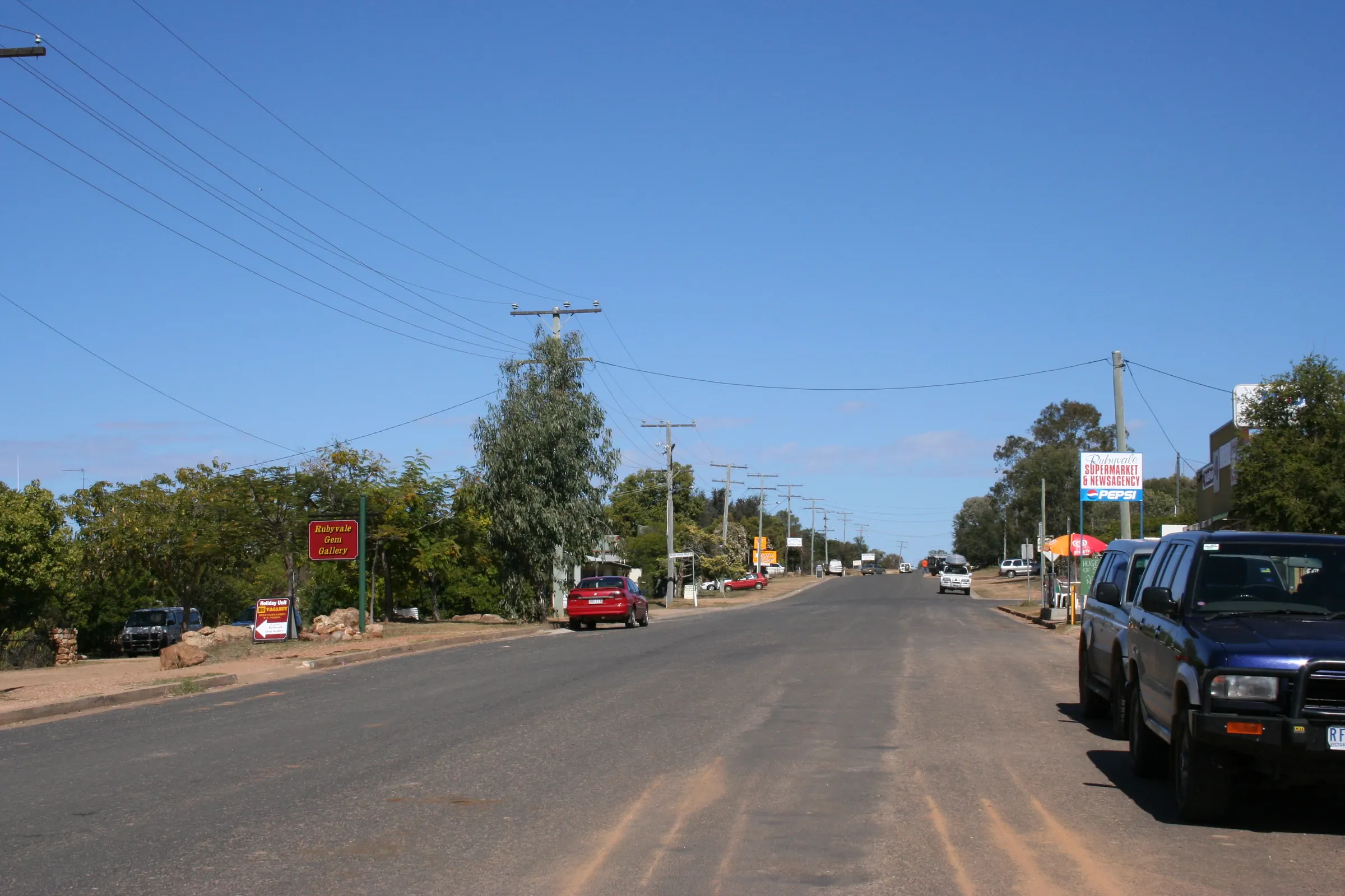
The Sapphire Gemfields
Head west on the Capricorn Highway and turn off at Anakie onto the sealed road to Sapphire and Rubyvale, with gem shops, fossicking parks and places to stay.
You need a Queensland fossicking licence on designated fossicking land, but fossicking parks sell bags of wash you can sieve without one.
- AnakieTurn-off from the Capricorn Highway46 km, about 40 min driveDirections
- SapphireVia the sealed road from Anakie54 km, about 45 min driveDirections
- RubyvaleNorth of Sapphire61 km, about 50 min driveDirections
65km50 to 70 min drive
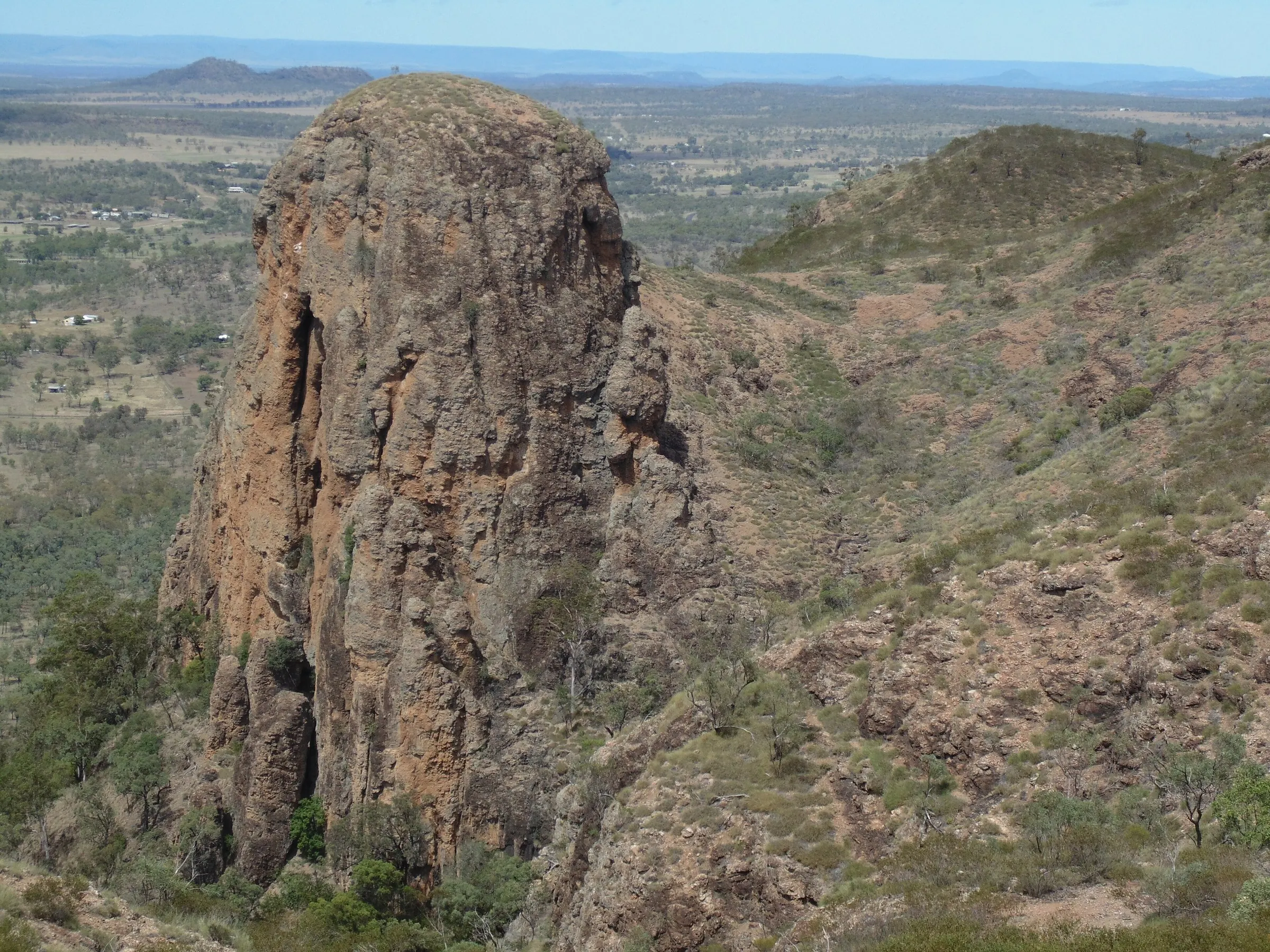
Springsure, Virgin Rock and Minerva Hills
South on the Gregory Highway, Virgin Rock on Mount Zamia is floodlit at night and best seen from Virgin Rock Lions Park. Minerva Hills National Park, just outside Springsure, has lookouts and walking tracks.
The park road is unsealed, fine for conventional vehicles in dry weather and not suitable for caravans. There’s no camping in the park.
Minerva Hills park information
- Virgin Rock Lions ParkVirgin Rock rest area, Springsure65 km, about 50 min driveDirections
- SpringsureGregory Highway, south of Emerald67 km, about 55 min driveDirections
- Minerva Hills National ParkTambo Road then Dendle Drive, west of SpringsureAbout 75 km, allow 1 hr 10Directions
53km45 min drive
Capella and the Peak Downs
North on the Gregory Highway. Capella Pioneer Village has more than 5,000 items and the 1869 Peak Downs Homestead, and Peak Range Lookout is 1 km south of town. Opening days change with the season, so check before you go.
- CapellaGregory Highway, north of Emerald53 km, about 45 min driveDirections
- Capella Pioneer Village1 Pioneer Street, Capella54 km, about 45 min driveDirections
- Peak Range LookoutAbout 1 km south of CapellaAbout 52 kmDirections
133kmAbout 2 hr drive
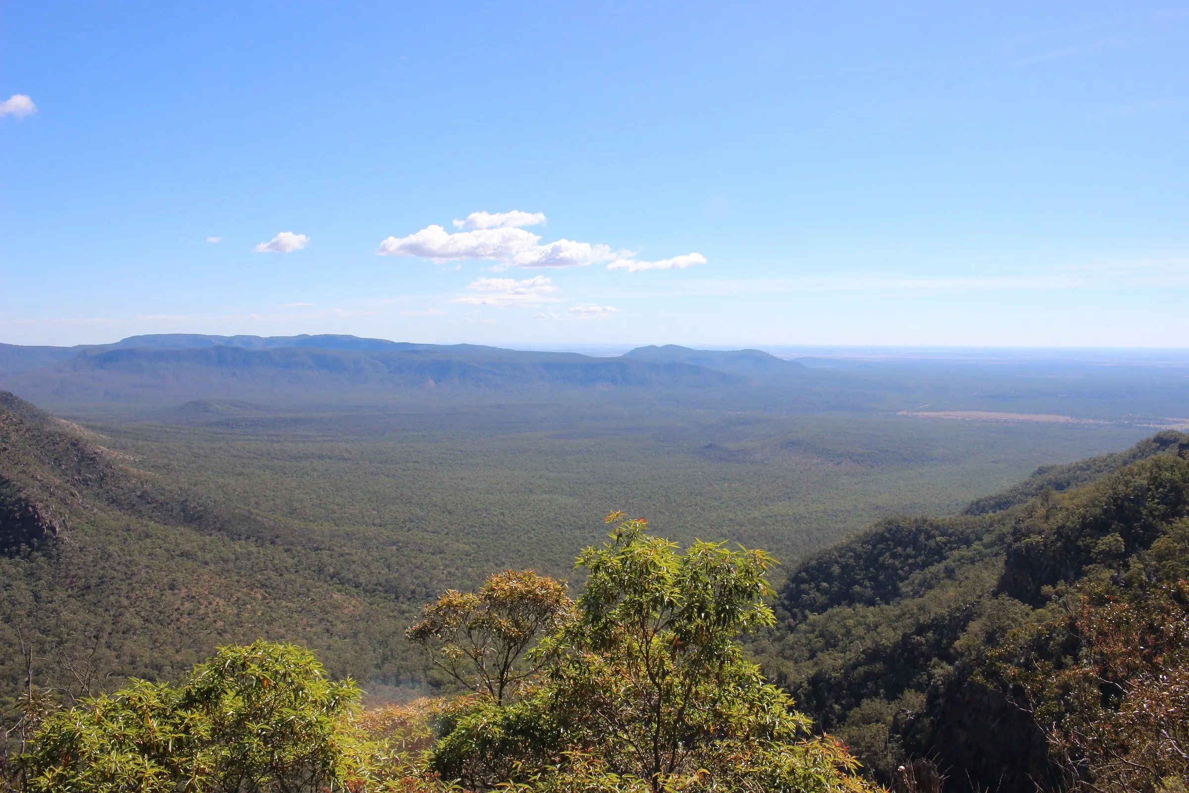
Blackdown Tableland National Park
A sandstone tableland east along the Capricorn Highway, with lookouts, walks and Gudda Gumoo (Rainbow Falls). The last 6 km up the range is narrow, winding and steep, and not suitable for caravans or heavy trailers. 4WD is recommended beyond Munall camping area.
Blackdown Tableland park information
- Yaddamen Dhina (Horseshoe) LookoutBlackdown Tableland National Park133 km, about 2 hr driveDirections
- Munall camping areaBlackdown Tableland National Park141 km, about 2 hr 20 driveDirections
- Gudda Gumoo (Rainbow Falls)Reached on foot by walking trackAbout 147 km, then a walkDirections
243km3 hr 20 min each way
Carnarvon Gorge
A long drive south through Springsure and Rolleston, with no fuel after Rolleston. Most visitors stay near the gorge rather than doing it as a day trip. Camping in the visitor area is only open in some school holidays, so book ahead.
Carnarvon Gorge park information
- RollestonLast fuel on the way to the gorge138 km, about 1 hr 50 driveDirections
- Carnarvon Gorge Visitor CentreCarnarvon National Park243 km, about 3 hr 20 driveDirections
Distances are measured along roads and footpaths from the motel. Drive times assume no stops, so allow extra time. Before heading out of town, check road conditions on QLDTraffic and park alerts on Queensland National Parks.
Photo credits
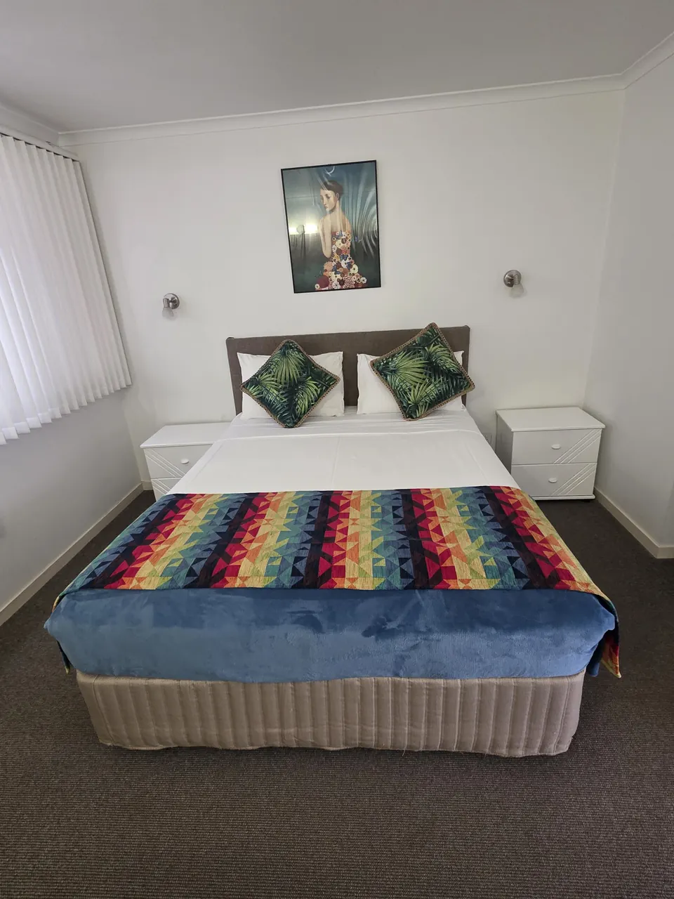
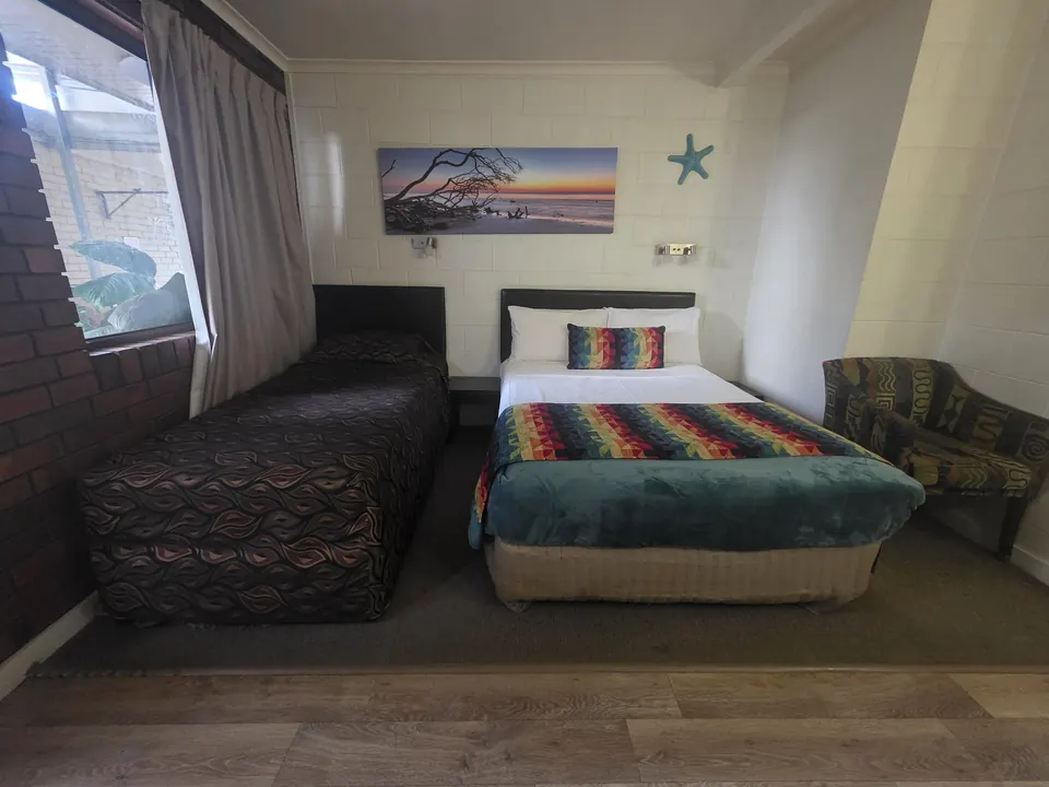
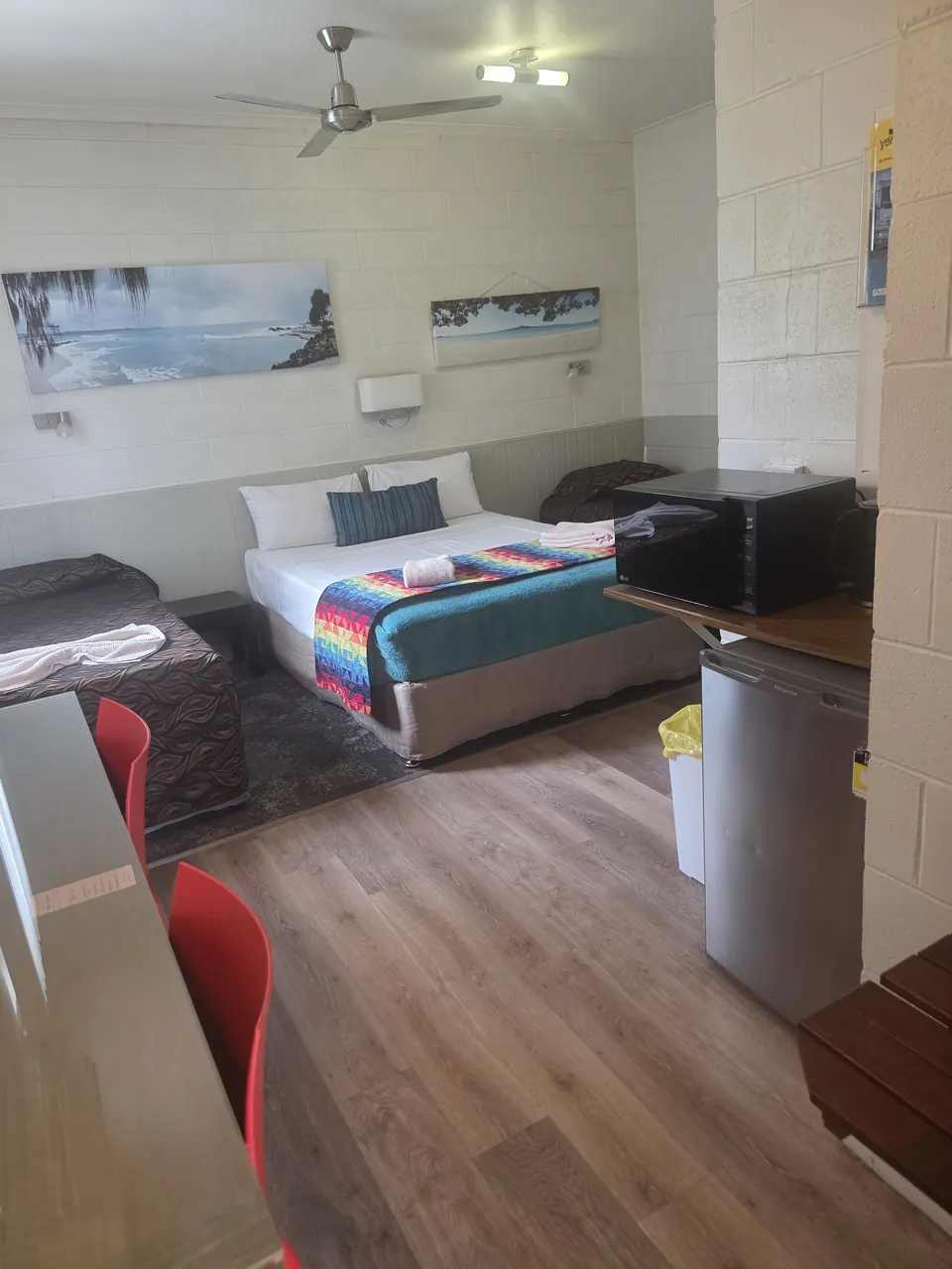
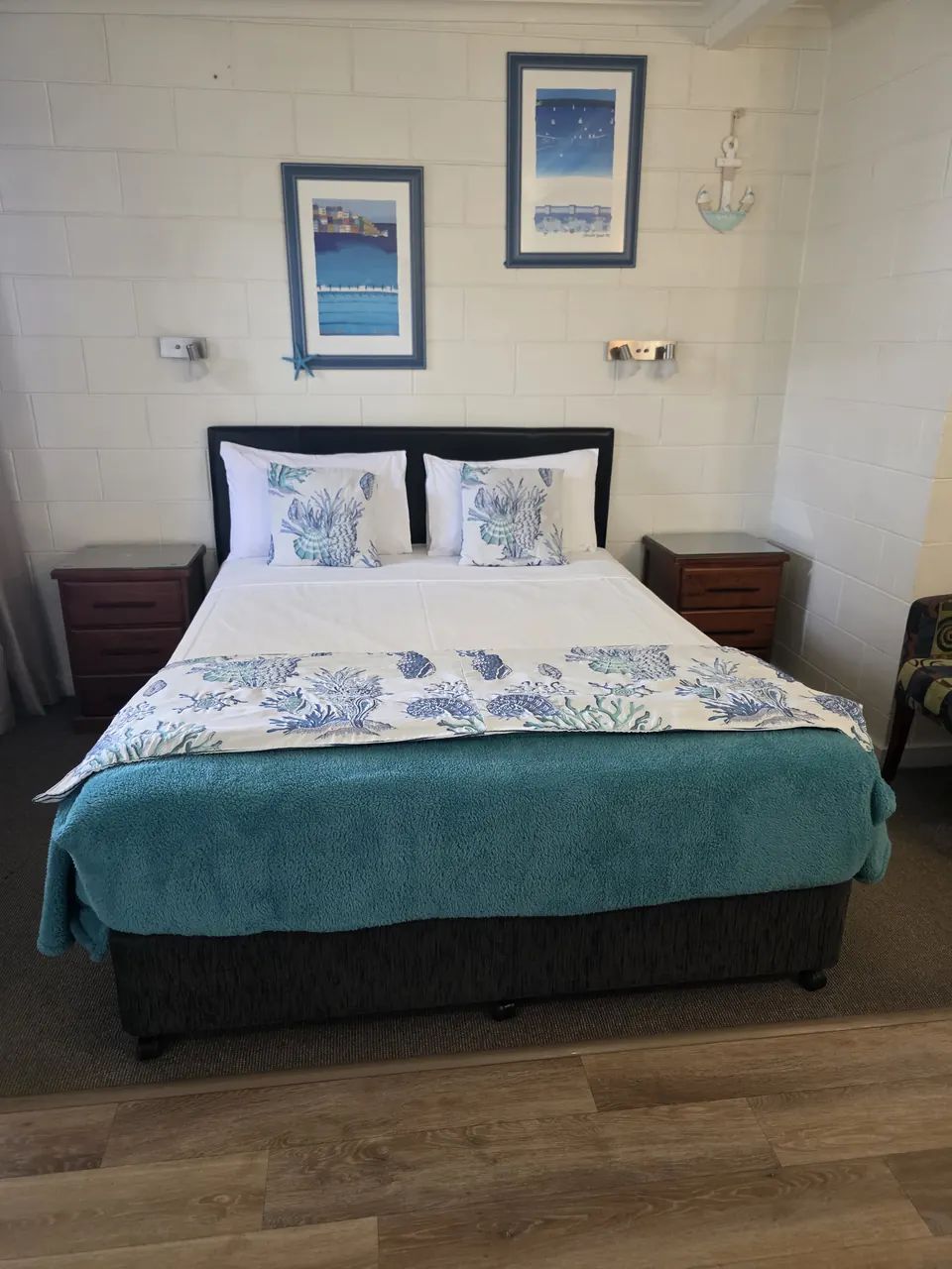
Room and motel photos are our own. Regional photos are from Wikimedia Commons, used under the licences below. Some are resized or cropped for this site, and those versions stay under the same licence.
- Gregory Developmental Road, north of Clermont
- Peter Neaum, CC BY 3.0, frame cropped
- Capricorn Highway near Emerald, 1978
- Queensland State Archives, public domain
- Coal train near Blackwater, c. 1999
- Queensland State Archives, public domain
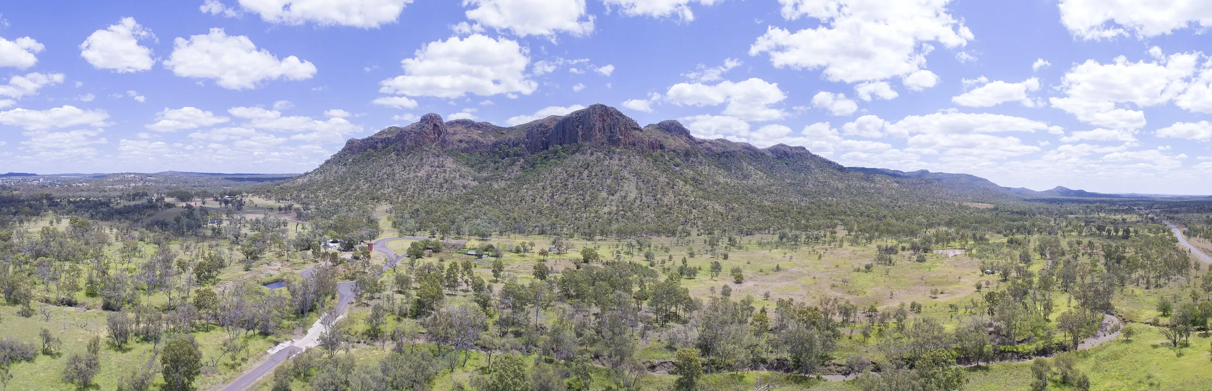
- Minerva Hills near Springsure
- Stephan Ridgway, CC BY 2.0
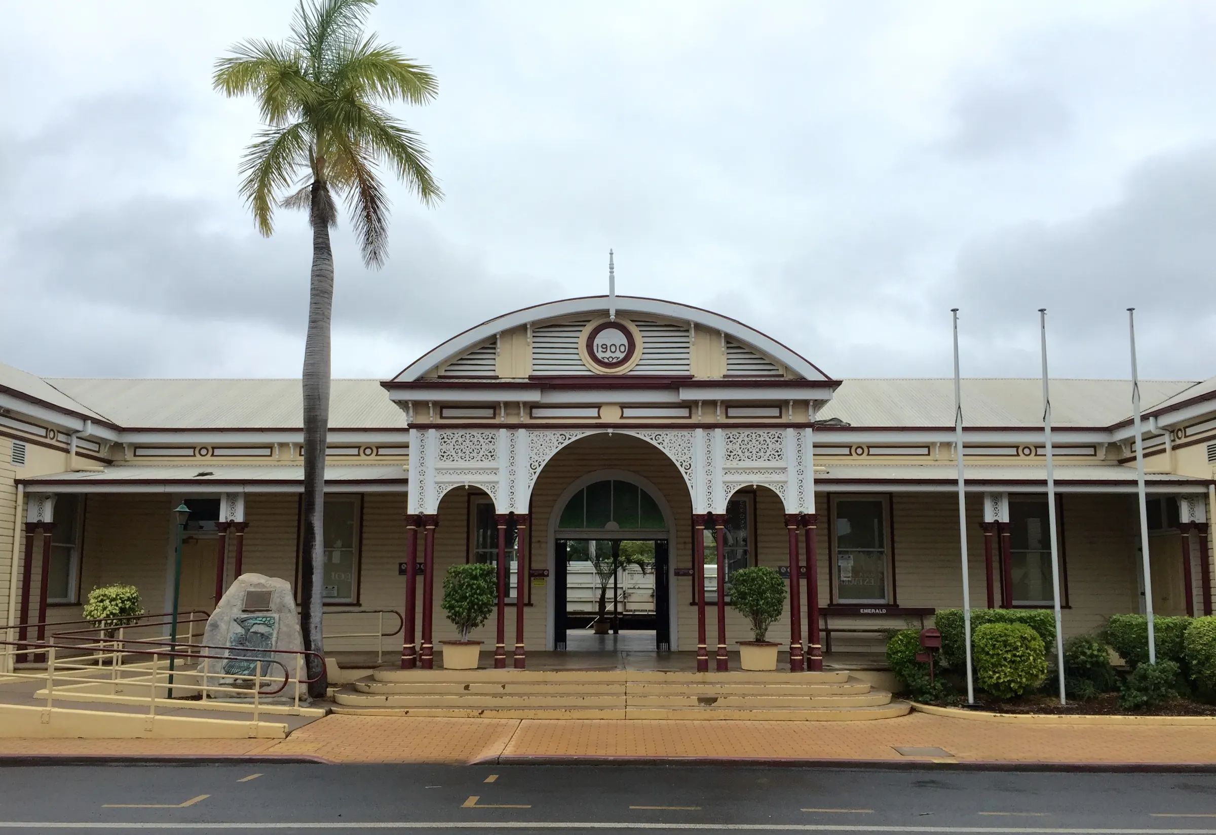
- Railway station
- Chris Olszewski, CC BY-SA 4.0
- Big Easel
- Joshua Ryan, CC0
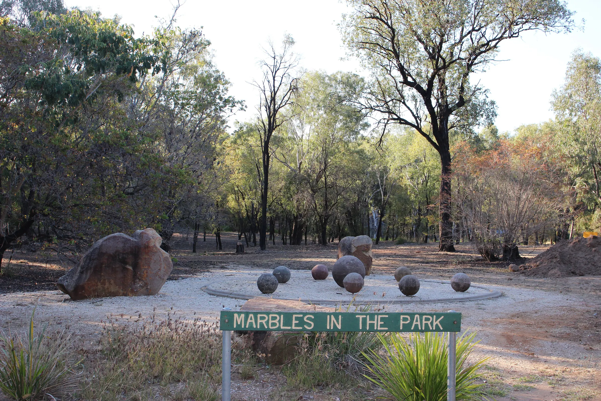
- Botanic Gardens
- CHRC Libraries, CC BY 2.0
- Rubyvale
- www.gondwananet.com, CC BY-SA 3.0
- The Tower, Minerva Hills National Park
- Beorn01, CC BY-SA 3.0
- Blackdown Tableland
- Imbi Josey, CHRC Libraries, CC BY 2.0


